The right perspective
for every mission.
We shape our coverage around the information you need. Deliverables, intended use, and project requirements are agreed before a flight is scheduled.
Real estate photography
Show buyers the bigger picture. Aerial real estate photography highlights a property's exterior, lot layout, outdoor spaces, access, and surrounding setting so prospective buyers can understand how the property fits together.
We work with real estate agents, brokers, property owners, and property managers on residential, commercial, land, and rental-property marketing. Each session is planned around the features you want to showcase, the listing schedule, and the images your marketing needs.
- Aerial listing photographs and exterior property views
- Land, acreage, and commercial-property photography
- Optional aerial video clips, agreed before booking
- Edited digital images, with file sizes and delivery timing agreed in your proposal
Tell us the address, property type, key features, deadline, and intended use. Ground-level, interior, twilight, and specialty photography can be discussed during scoping; availability is confirmed in the proposal.
Discuss property photography ↗Mapping & site models
Understand how the pieces of your site fit together. Aerial imagery can document visible property features, access routes, staging areas, and changes over time.
Depending on scope and equipment requirements, outputs may include stitched imagery, annotated overviews, or photogrammetry-based models. We discuss accuracy needs and intended use before confirming the assignment.
- Aerial image collections and site overviews
- Orthomosaic imagery where suitable
- Annotated maps and 3D models as agreed
Boundary determinations and certified surveying require the appropriate licensed professional. Mapping outputs are for their agreed purpose.
Roof & exterior inspections
Get a closer view of visible exterior conditions. Drone imagery can document roof surfaces, gutters, flashing, rooftop equipment, and other features where visibility and safe access permit.
Organized image sets can support maintenance conversations, contractor estimates, and before-and-after records. Detail photographs can be labeled by area to help teams locate visible concerns.
- Roof and building overview images
- Detail photographs of agreed features
- Labeled folders and annotated photo reports
Imagery documents visible conditions; it does not establish hidden damage, structural integrity, code compliance, or insurance coverage.
Construction progress
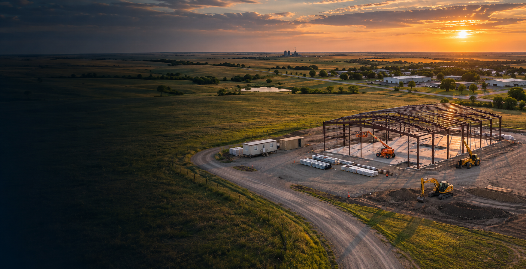
Keep owners, crews, and remote stakeholders informed with a consistent visual record as work moves forward. Repeat visits can document site development, access, staging areas, and agreed work zones.
We plan useful viewpoints and a visit schedule that supports your reporting process. Dated image sets make it easier to review changes and communicate project status.
- Scheduled aerial progress photography
- Dated comparison layouts
- Overview video and recurring summaries as scoped
Search & rescue support
Aerial observation can help search teams assess a wider area and inspect locations difficult to see from the ground. We welcome inquiries about drone support for coordinated searches.
Assignments are evaluated around terrain, airspace, weather, equipment, availability, and the coordinating team's needs. Coverage and information sharing are established with the incident lead or responsible organization.
Subject to availability and mission suitability. For an active emergency, contact 911 first. This website does not dispatch emergency services.
Solar panel thermal inspections
A new perspective on solar performance. Planned thermal imaging services will help document temperature patterns and flag areas that may need further evaluation by a qualified solar professional.
We plan to combine visible-light context with thermal imagery and clearly organized documentation. The final service scope will be announced when equipment and operating processes are ready.
Not currently available for booking.The thermal-style graphic is illustrative. It is not an inspection result or a temperature measurement.
Let's define the right deliverables.
Pricing depends on location, area, complexity, required outputs, processing, repeat visits, and travel. Your proposal identifies the agreed work, timing assumptions, and any travel costs.
Request a project conversation ↗